


5.9 km | 10.4 km-effort


User


FREE GPS app for hiking
 SityTrail
IGN / Geographical institutes
SityTrail World
The world is yours!
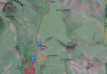
Trail Mountain bike of 23 km to be discovered at Provence-Alpes-Côte d'Azur, Hautes-Alpes, La Faurie. This trail is proposed by jcpistono.
pusteaux-bois des faures-les garibus- crête de la rouye - la valette
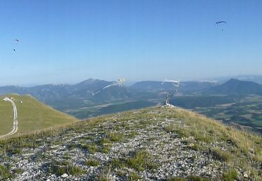
fin de la montée a l'aup tres pentue et caillouteuse sur la ligne de crete
chemin de descente sur me serre des garrats tres accidenté impossible a la montée
descente possible depuis ma cime de l'aup vers le mourre de l'aigle- fontberte-notre dame mais a ne pas faire seul car sentier accidenté au debut
tour facile en vttae : 1h45 de pedalage, 24km, 840mdev

Walking
Walking
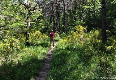
On foot
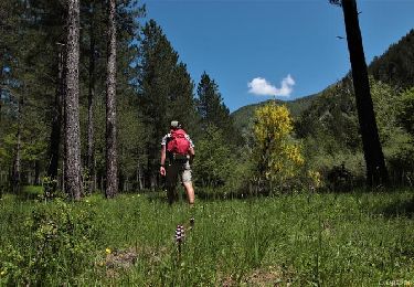
On foot
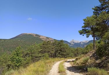
Mountain bike

Mountain bike
Walking
Walking
Walking